how to write survey camp report
first of all you have to calculate following data
- in topographic survey
- RL of all major and minor station
- major gale’s table with RL(if not calculated durying survey camp)
- RL and coordinate of Details
- in road levelling
- RL of all IP
- gale’s table for road
- bearing and coordinde of road alignment
- RL and coordinate of detail
- bridge site survey
- RL of all triangulation station
- gale’s table for bridge
- RL and coordinate of detail
if you have calculated above data then try to plot the detail data in autocad using DTM(video available here )
following tables should be perpared before plotting the data
TOPOGRAPHIC SURVEY
Ø Two peg test data sheet
Ø Fly levelling- transfer of RL from BM to TBM at site
Ø Major Traverse-Horizontal Angle Observation Sheet
Ø Minor Traverse- Horizontal Angle Observation Sheet
Ø Major Traverse- Measurement of Traverse legs
Ø Minor Traverse- Measurement of traverse legs
Ø Gale’s Table- Major Traverse
Ø Gale’s Table- Minor traverse (Link traverse)
Ø Differential Leveling- transfer of RL from TBM to major and minor station
Ø Adjustment of the Reduced Level of Traverse station
Ø RL and Coordinates of Details
ROAD SITE SURVEY
Ø Fly leveling- Transfer of RL from TBM to IP0
Ø Horizontal Alignment Fixing of Road
Ø Longitudinal Section and Cross Section Data
BRIDGE SITE SURVEY
Ø Flying Leveling- Transfer of RL from BM to Triangulation station
Ø Reciprocal leveling- Transfer of RL along Bridge Axis
Ø Differential Leveling- Transfer of RL to the triangulation stations
following drawing and plot should be prepared
TOPOGARPHIC SURVEY
Ø Major Traverse with Minor Traverse in Scale 1:1000
Ø Minor traverse along with the topographic detailing in the given plot in scale 1:500
ROAD SITE SURVEY
Ø Plan of the horizontal alignment of road
Ø Longitudinal section of the road
Ø Cross section of the road alignment with necessary features of the road
BRIDGE SITE SURVEY
Ø Topographic map of the bridge site
Ø Longitudinal section of the river
Ø Cross section of the river at every 20 m interval and 10m from bridge site
following contents must be in the report
CERTIFICATE
ACKNOWLEDGEMENT
ABSTRACT
WORKING SCHEDULE
TABLE OF CONTENTS
APPENDICES
LIST OF TABLES
LIST OF DRAWING AND PLOT
LIST OF ABBREVATIONS
CHAPTER 1 INTRODUCTION
1.1. BACKGROUND
1.2. OBJECTIVES
1.3. RELEVANCY OF THE CAMP
1.4. LIMITATIONS
1.5. ORGANIZATION OF REPORT:
CHAPTER 2 LITERATURE REVIEW
CHAPTER 3 METHODOLOGY
3.1. TOPOGRAPHIC SURVEY
3.2. OBJECTIVES
3.3. BALANCING THE TRAVERSE:
3.4. ADJUSTMENT OF ANGULAR ERROR AND BEARING:
3.5. DISCREPANCY AND LINEAR MISCLOSURE:
3.6. DETAILING
3.7. METHODS OF CONTOURING:
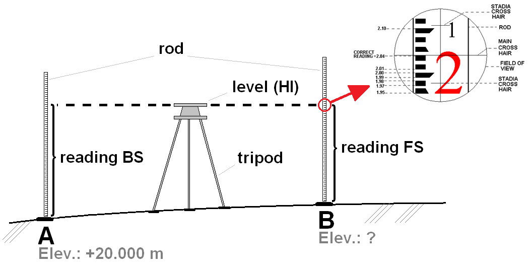
3.8. LEVELING
3.9. COMPUTATION AND PLOTTING
3.10. ROAD SITE SURVEY
3.11. METHODOLOGY
3.12. DESIGN OF FORMATION LEVEL
3.13. BRIDGE SITE SURVEY
3.14. CURVES
CHAPTER 4 RESULTS AND DISCUSSION
CHAPTER 5 CONCLUSION AND RECOMMENDATION
{if you required sample of report in soft copy click here}
You may also like
eartquake protection:building technology
1 June, 2019

numerical method note
9 February, 2019

chapter wise note concrete technology
22 January, 2019